| Home | Login |
Search
Forum
Actions
New Document
New Folder
List Folders
List Documents
List Groups
List Users
Camera resources
Olympus 4000
Olympus 4040
Olympus 5050
Olympus 5060
Olympus 7070
Olympus 8080
Olympus E-M1 II
Olympus E-M5
Olympus E-P1
Olympus E-P2
Olympus E-PL1
Olympus E-PL3
Olympus E1
Olympus E3
Olympus E30
Olympus E300
Olympus E330
Olympus E400
Olympus E410
Olympus E420
Olympus E500
Olympus E510
Olympus E520
Olympus E620
m4/3 lenses
Camera FAQs
Terms of Service
Photo contest
Submissions page
Hall of fame
Folders
About this site
Documents
Polls
Private folders
Public folders
Categories
Abstract
Action/Motion
Animal
Architecture
Candid/Snapshot
Cities/Urban
Documentation
Fashion/Glamour
Historical
Landscape
Macro
Miscellaneous
Nature
Night/Low light
People
Polls
Sand and Sea
Sky
Tourist/Travel
Contact Us
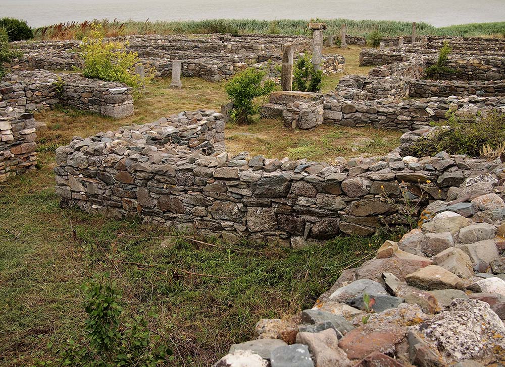
Histria Fortress, the Pompeii of Romania 3

Copyright ©2011, Olav Agnar Frogner
Viewed times
Geographic setting.
Ancient Histria was situated on a peninsula, about 5 kilometres (3 mi) east of the modern Romanian commune of Istria, on the Dobruja coast. The ancient seashore has since been transformed into the western shore of Sinoe Lake, as the Danube's silt deposits formed a shoal which closed off the ancient coastline. The current Sinoe Lake was at the time the open northern bay, while another bay on the southern shore served as the port. The acropolis with sanctuaries was established on the highest point of the coastal plain. The settlement itself, erected in the 6th century, was 1/2 mile (800 meters) to the west of the acropolis. The settlement had stone paved streets and was protected by strong wall. Water was collected along 12.5 mile (20 km) long aqueducts.
| Photographer: | Olav Agnar Frogner |
|---|---|
| Folder: | Danube Delta |
| Uploaded: | 12-Oct-2011 13:04 CEST |
| Model release available: | |
| Camera: | Olympus E-PL1 |
| Exposure time: | 1/320 s |
| Aperture: | F5 |
| Focal length: | 20 mm |
| Lens: | Panasonic 20mm/F:1.7 |
| Focusing method: | iESP |
| ISO: | 200 |
| White balance: | Auto |
| Flash: | no |
| Image format: | SHQ |
| Processing applied: | |
| Various: | |
| Image resized to: | 728x1000 |